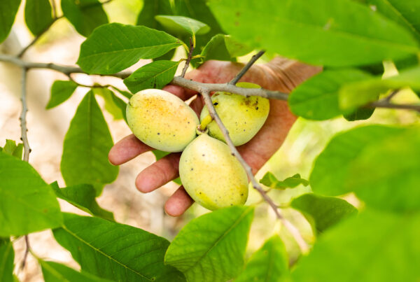
When we talk about Texas landscapes, we usually focus on what we can see—grass, shrubs, trees, and wildlife. But underneath all of that is something we don’t talk about nearly enough: the rock and soil that everything else depends on.
In Central Texas, one of the best examples of this connection is the Central Mineral Basin, also known as the Llano Uplift. It’s a geologic oddball by Texas standards, and once you understand it, a lot about the region suddenly makes sense.
So What Is the Llano Uplift?
The Llano Uplift is a roughly circular area in Central Texas where some of the oldest exposed rock in the state sits right near the surface. We’re talking rock that formed more than a billion years ago, far older than the limestone and sediment that dominate much of Central Texas.
Instead of being pushed up into mountains, this area was slowly revealed as surrounding layers eroded away. What’s left is a tough core of granite and other hard rock that resists weathering. That exposed bedrock is why the land here behaves differently from the surrounding land.

Why Geologists Call It the Central Mineral Basin
The name comes from the concentration of exposed igneous and metamorphic rock—granite, gneiss, and schist—that’s unusual for Texas. Early geologists and prospectors noticed these rocks and the mineral traces associated with them, and the name stuck.
While it never became a major mining region, the mineral-rich foundation left behind something more lasting: thin soils, fast drainage, and a landscape that responds quickly to both rain and drought.
From Rock to Rangeland
If you’ve ever worked land in this part of Texas, you’ve probably noticed a few things:
- Soils tend to be shallow and rocky
- Water runs off fast instead of soaking in
- Big trees usually stick to draws and creeks
- Grass and brush respond quickly when it rains and dry out just as fast
None of that is accidental. The hard granite underneath limits soil depth, which in turn limits how much water plants can access. That’s why the region favors open savannas, scattered live oaks, and drought-tolerant grasses rather than dense forests.
It’s also why erosion can occur quickly when land is overworked or left bare.
Water Works Differently Here
Groundwater behaves differently in the Llano Uplift than it does in places with thick layers of limestone or sand. Instead of large, continuous aquifers, water moves through fractures and shallow soils.
That means:
- Springs are often localized and seasonal
- Creeks and tanks matter more than deep wells
- Surface water management is especially important
For landowners, understanding this saves time, money, and frustration when planning water infrastructure.
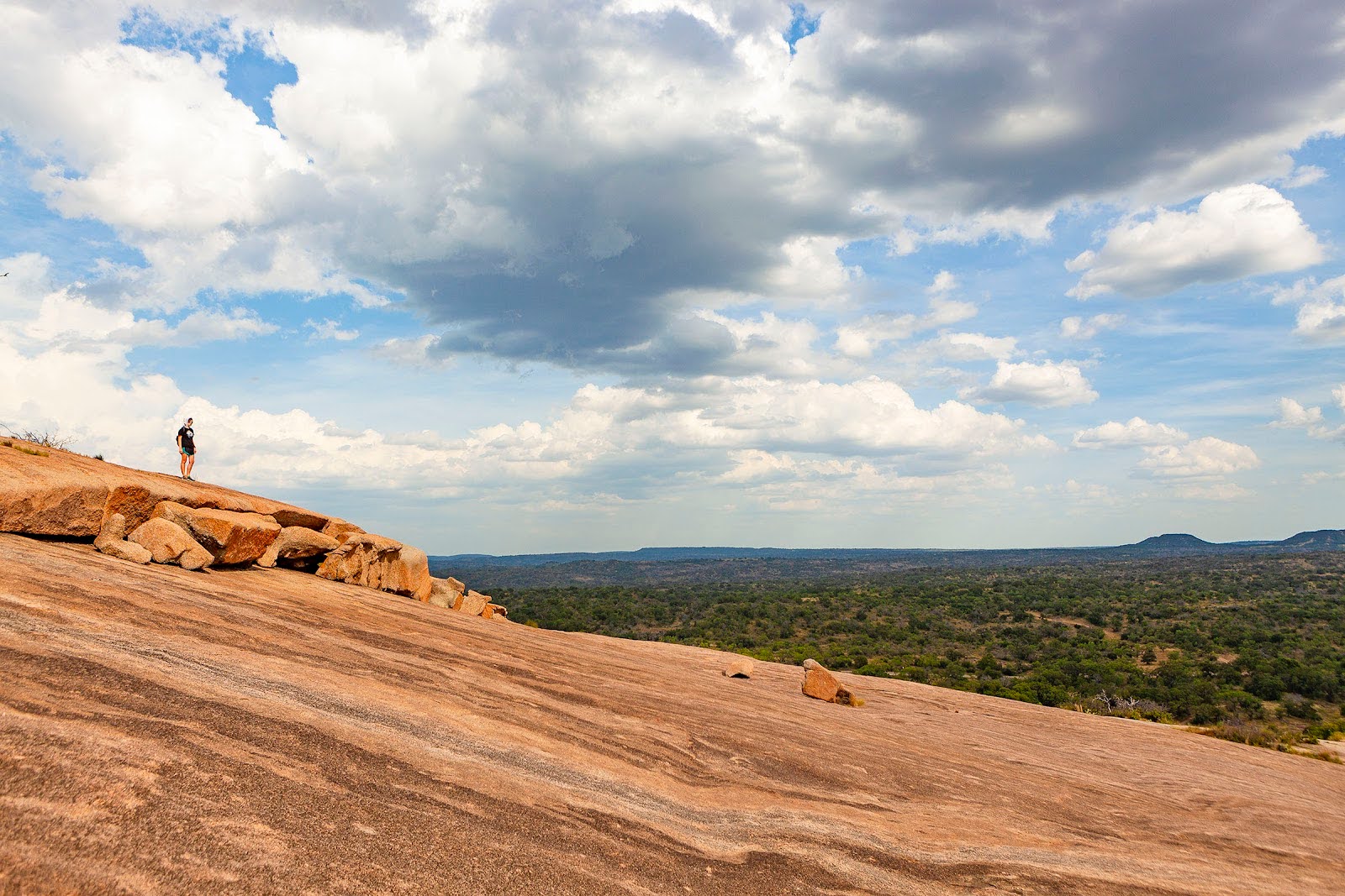
Enchanted Rock: The Uplift You Can Stand On
That massive pink granite dome of Enchanted Rock is one of the most visible pieces of the Llano Uplift. It formed deep underground, cooled slowly into granite, and was later exposed as softer surrounding material eroded away. What you see today is a hard, durable rock surface that’s resisted weathering for millions of years.
Standing on Enchanted Rock is literally standing on the geologic backbone of Central Texas.
Why This Area Feels Different
People often say the Llano area “doesn’t act like the rest of the Hill Country.” That’s because it doesn’t. Compared to nearby limestone-dominated regions:
- Soils are thinner and less forgiving
- Water availability is more variable
- Vegetation responds faster—but also stresses faster
Management strategies that work well in a few counties away don’t always translate here. The rock underneath sets the rules.
Reading the Land From the Ground Up
The Central Mineral Basin is a good reminder that ecology starts with geology. Plants, wildlife, water, and land-use limitations all trace back to what’s underfoot.
For landowners, recognizing that foundation helps set realistic expectations and better management goals. You can’t change the bedrock—but you can work with it.
Once you start paying attention to what’s beneath the soil, the landscape above starts to make a lot more sense.