Maybe you’ve seen the clips on social media. Maybe a friend, neighbor, or broker has mentioned it. Or maybe you’re in the middle of buying or selling a ranch and want to know exactly what’s out there. Whatever your reason, if you’re considering a drone wildlife survey, you’re already on the path to getting a clearer, smarter picture of your animal populations.
This article explains how these thermal drone land surveys work, why they’re more effective than traditional wildlife surveying methods, and what you should know to get the most accurate results possible.
How Does a Thermal Drone Land Survey Work?
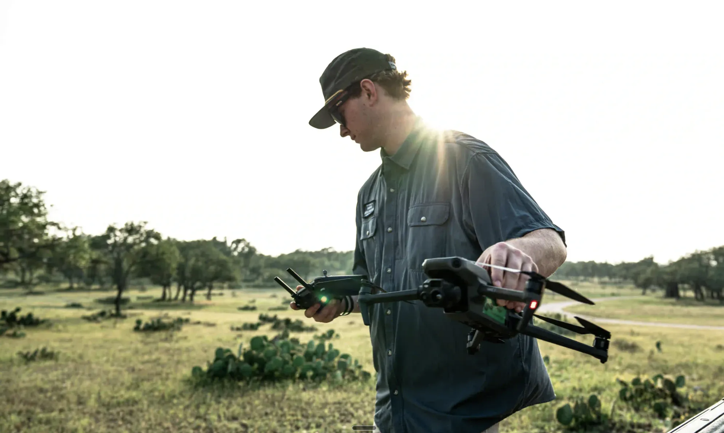
At its simplest, a thermal drone land survey involves flying a drone over your property and counting the animals it detects using thermal imaging.
Early drone surveys relied on standard daylight cameras, but they struggled to match helicopters, which use rotor noise to flush animals into the open. The breakthrough came with thermal cameras. These detect body heat, allowing surveyors to spot animals, even those bedded down in thick brush, without disturbing them.
This makes today’s drone surveys safer, quieter, and more accurate than traditional census counts.
Why Choose Thermal Drone Land Surveys for Your Wildlife Surveys?
- Safer for Wildlife
Unlike helicopters, drones don’t typically disturb animals. The quiet flight means deer, exotics, and cattle continue their natural behavior, resulting in a more accurate count. Helicopter surveys, by contrast, stress animals, leading to potentially increased fetal loss in does, higher fawn mortality, and in some cases, injury or death from panicked fence collisions on high-fenced properties.
- Greater Accuracy
Thermal drone surveys typically identify 60–90% of the total wildlife population on a property. Compare that to the 30–70% range reported by Texas Parks & Wildlife for helicopter surveys. Drones also capture video of the entire survey, allowing for detailed review and minimizing human error. Plus, flight paths are precisely logged, making future comparisons easy for monitoring trends over time.
- Cost-Effective and Efficient
Compared to helicopter surveys, drone counts are typically more affordable, especially for smaller properties. With no heavy machinery, fewer crew members, and minimal fuel costs, landowners often pay less.
The most significant cost avoided with a thermal drone wildlife survey is valuable time. Landowners and lease members no longer have to sift through thousands of trail camera photos or spend multiple late nights driving the property with a spotlight. Drones streamline the entire process into a fast, efficient flight and a clear summary of findings. All a landowner needs to do is provide property access.
Setting Realistic Expectations
Let’s be clear: no survey method will find every animal on your property. Any method or provider promising 100% accuracy should be avoided. What you can expect with a drone survey is a reliable, representative count, one that’s significantly better than traditional methods.
Multiple factors affect survey results, and understanding these is key to interpreting your numbers correctly.
Key Factors That Impact Thermal Drone Survey Accuracy
Flight Conditions
- Heat: It’s not just about air temperature. It’s the contrast between an animal’s body heat and their surroundings. For example, during the 2025 Texas freeze, sub-zero temps created heat-saturated trees and rocks that made spotting wildlife harder, not easier.
- Cloud Cover: Overcast skies create ideal thermal conditions. Without direct sunlight heating surfaces unevenly, animal heat signatures “pop” clearly against a cooler background.
- Rain & Wind: These conditions don’t just ground drones, they change animal behavior. Most wildlife bed down in bad weather, making detection harder.
- Fog: Moisture distorts thermal imagery and can even collect on drone lenses. Foggy mornings should be avoided.
- Time of Day: Night flights are best. Without solar radiation heating the ground, animals are easier to spot. Early mornings are possible (especially if visual footage is needed), but there is a narrow window before the sun warms the terrain.
Terrain & Vegetation’s Impact on Thermal Drone Surveying
Texas is big and diverse. Here’s how different landscapes impact drone surveys:
- South Texas: Low-growing brush is generally drone-friendly at any time of year, but oak canopies and prickly pear can cause interference. Post-season flights (after winter leaf drop) can help mitigate those latter issues.
- West Texas & Hill Country: Cedar is the biggest challenge. Its dense evergreen foliage retains heat and rarely opens up visibility, even in winter. Exposed rocks retain heat long into the night during summer, flooding thermal images with false positives. Winter and cloudy conditions are the best workaround.
- North Texas: Mixed oak, mesquite, and hackberry forests offer moderate visibility. Winter is ideal, especially after leaf drop.
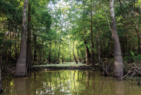
- East Texas: Pine forests are tough due to year-round canopy coverage. However, properties with brush management or post-burn landscapes can be surveyed effectively in winter.
Which Thermal Drone Survey Provider to Use?
Landmark Wildlife Management has shifted our traditional spotlight counts and helicopter surveys for wildlife surveys to thermal drone surveys. This has been done for the very powerful reasons mentioned above. It’s simply a superior survey method for most properties and circumstances. We have been extraordinarily happy with the firm Sky Senderos, which has conducted these counts.
By hiring Landmark Wildlife and Sky Senderos to conduct your thermal drone game survey, you are receiving:
- A custom flight plan tailored to your property’s layout and topography
- Full video review with both initial and reviewed counts
- Insight into what percentage of your total population was likely captured
- Visual documentation of notable animals
- Years of experience flying properties across all regions of Texas
- Harvest recommendations to ensure deer/exotic numbers are sustainable
We’re transparent about what’s possible, and we’ll never promise more than the data can deliver. If you have questions about a thermal drone survey or are interested in scheduling one for your property, please feel free to reach out to us.